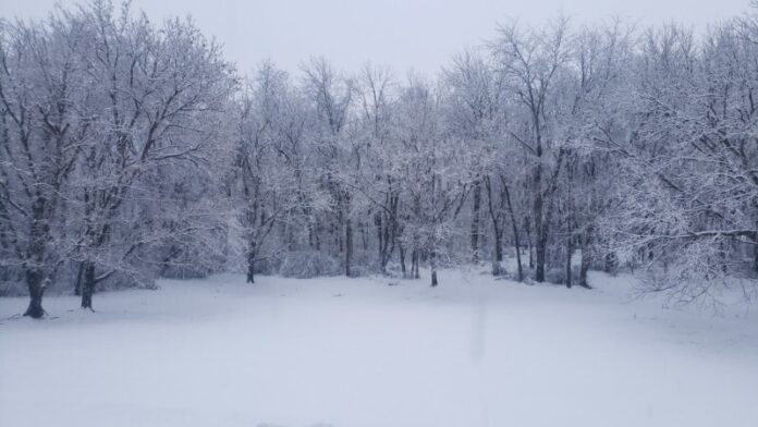
Snow is falling across much of middle Tennessee. While snow totals might vary across the area, it’s always exciting when the mid-state receives snow. It got us thinking about significant winter weather events that have occurred in the area.
Here is an abbreviated list (from weather.gov) of some record-breaking winter weather events that occurred in Middle Tennessee.
January 1, 1918 – Dickson receives its greatest snowstorm ever, with an accumulation of 15″.
January 1, 1964– New Year’s Day storm sets single day snowfall records in several locations, including Lawrenceburg, with 16″, Waynesboro, 15½”, Columbia and Mount Pleasant (1 N), 15″, Lewisburg, 12½”, Pulaski, 11½”, Centerville and Neapolis, 11″, Lebanon (7 N), Linden, and Old Hickory Dam, 10″, and Shelbyville, 9″.
January 6, 1910 – A winter storm buries Clarksville under 12″ of snow, a single-day record there.
January 16, 2003 – A major snowstorm strikes the mid state, with Nashville reporting 7″ of snow — much more than was forecast — becoming the city’s biggest snowfall in nearly 7 years. The snow begins falling around 8:00 a.m., and by mid-day the city is paralyzed with blocked interstates, numerous accidents, and large-scale gridlock.
January 29, 1905 – Nashville records greatest one-day snowfall for January, measuring 8½”.
January 31, 1951- Five inches of snow and ice fall, much of it during the evening, producing a water equivalent of 3.83″. This is the greatest one-day precipitation event for January in Nashville’s history.
February 3, 1998 – Snowstorm brings treacherous driving conditions, school closures, and widespread power outages to the Cumberland Plateau. Interstate 40 is closed at Monterey for 18 hours due to the heavy snow. Traffic is backed up for 13 miles. Winds gust to 50 mph at times during the snowstorm. Approximately 100,000 electric customers lose power. TEMA reports damages of about $5 million.
February 9, 1994 – A major winter weather event strikes the mid state. Temperature at Nashville at midnight is 70 degrees, but a strong cold front sweeps through, with temperatures falling throughout the day. By noon, snow begins as the temperature falls to 32 degrees, and changes to freezing rain by evening. At midnight, the temperature is 23 degrees. By the following morning, the ground is covered by an inch of snow and ice.
As WSMV reports, “The electrical power grid took the biggest hit during the ice storm not just in Middle Tennessee, but all across the mid-south where an estimated two million people were left without electricity. An estimated 100,000 people in Middle Tennessee were left without power.”
February 20, 2015 – A devastating ice storm brings up to 1″ of ice accumulation to the Cumberland Plateau. The weight of the ice combining with wind gusts up to 50 mph brought down over 700 power poles and hundreds of trees, knocking out power to all of Fentress County and most of Cumberland County for up to 1 month. It was considered the worst natural disaster in the history of Cumberland County.
December 23, 1998 – Ice storm strikes much of northern Middle Tennessee and the Cumberland Plateau. Damage in some areas eclipses that from the 1994 ice storm. Warren and Coffee Counties are the hardest hit. Eighty percent of Coffee County residents are without electricity.
Learn about more significant weather events at weather.gov.
Stay Weather Aware With Our Live Radar


