For your Close to Home LIVE radar find your county here
Flood Watch
National Weather Service Nashville TN
156 AM CST Wed Mar 1 2023

TNZ056>058-060-061-075-077-079-093>095-012100-
/O.NEW.KOHX.FA.A.0001.230302T0000Z-230304T0000Z/
/00000.0.ER.000000T0000Z.000000T0000Z.000000T0000Z.OO/
Perry-Hickman-Lewis-Maury-Marshall-Bedford-Coffee-Grundy-Wayne-
Lawrence-Giles-
Including the cities of Hohenwald, Manchester, Lawrenceburg,
Tullahoma, Columbia, Altamont, Linden, Shelbyville, Centerville,
Lewisburg, Pulaski, Clifton, Lobelville, Waynesboro, and Coalmont
156 AM CST Wed Mar 1 2023

...FLOOD WATCH IN EFFECT FROM THIS EVENING THROUGH FRIDAY
AFTERNOON...

* WHAT...Flooding caused by excessive rainfall is possible.

* WHERE...Southern portions of Middle Tennessee, including the
  following counties, Bedford, Coffee, Giles, Grundy, Hickman,
  Lawrence, Lewis, Marshall, Maury, Perry and Wayne.

* WHEN...From this evening through Friday afternoon.

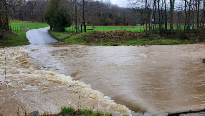
* IMPACTS...Excessive runoff may result in flooding of rivers,
  creeks, streams, and other low-lying and flood-prone locations.
  Low-water crossings may be flooded.

* ADDITIONAL DETAILS...
  - 1 to 2 inch rainfall amounts are expected tonight with
    considerably high rainfall rates possible. Storm total
    amounts of around 3 inches are expected through Friday with
    local amounts of up to 4 inches possible.
  - http://www.weather.gov/safety/flood

PRECAUTIONARY/PREPAREDNESS ACTIONS...

You should monitor later forecasts and be alert for possible Flood
Warnings. Those living in areas prone to flooding should be prepared
to take action should flooding develop.


